This has been – by some distance – the worst wildfire season in Canada’s history.
This week, thousands of people in the western and northern parts of the country have been forced to flee their homes. Other have been told to be ready to leave at a moment’s notice.
There are over 1,000 active wildfires nationwide and two-thirds of those are classed as out of control, according to the Canadian Interagency Forest Fire Center.
In terms of acres burned, the 2023 season far outstrips all previous years.


The fires are currently burning in provinces in both the east and the west.
The fire near the Northwest Territories capital city of Yellowknife could be driven closer by changing wind directions. More than 1,000 people were flown out on emergency flights on Thursday, and more a leaving on Friday.
A separate fire 1,382m (2,225km) southwest has caused the city of Kelowna, home to 150,000 people, in the province of British Columbia to declare a state of emergency and begin evacuations. Authorities say the wildfire is very active and unpredictable.

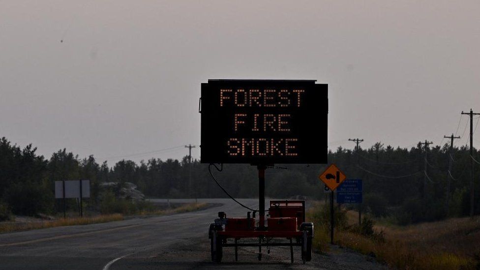
This summer the fires caught the world’s attention when the smoke caused the air quality to plummet in many major US and Canadian cities, including New York City, Washington DC and Toronto.
- Surreal skies grip New Yorkers – in pictures
Another way of showing how bad 2023 has been for fires in Canada is to show the speed in which they spread over the summer months, compared with recent years.

The focus in the last few days has been on the Northwest Territories where one of the largest evacuation operations in Canada’s history has been taking place.
Long queues of vehicles could be seen snaking down a highway out of the city of Yellowknife.
The flights out of the city are also full, the final chance to leave ahead of a Friday deadline set by authorities to get the 22,000-strong community out of danger.
The fires were nine miles (15km) away from the city late on Thursday and could reach the outskirts of Yellowknife over the weekend.
Hay River further south was also the scene of people fleeing. One couple told CBC News parts of their car melted in the heat.

The other wildfire hotspot is Kelowna in British Columbia where thousands are fleeing the encroaching McDougall Creek wildfire, which exploded in size on Thursday.
There has been “structural loss” in West Kelowna and almost 5,000 properties in the area had been told to evacuate.
Flights have been grounded at Kelowna International Airport in order to prioritise aerial firefighters.
One resident there, Alastair Richards, took this photo from his garden in the early hours of Friday.

More on Canada’s wildfires
- How the fires are warming the stratosphere
- Canada wildfire season is now the worst on record
- Is climate change fuelling Canada’s wildfires?
Related Topics
- Wildfires
- Northwest Territories
- British Columbia
- Canada