Storm Watch Team meteorologists are tracking wet weather that is expected to begin Tuesday afternoon and last through Wednesday morning – just in time for holiday traveling. News 12 will continue to monitor any changes in the forecast and its impacts on flights and roadways.
News 12 Storm Watch Team Meteorologist Hilda Estevez says to expect sunny, breezy and dry conditions.
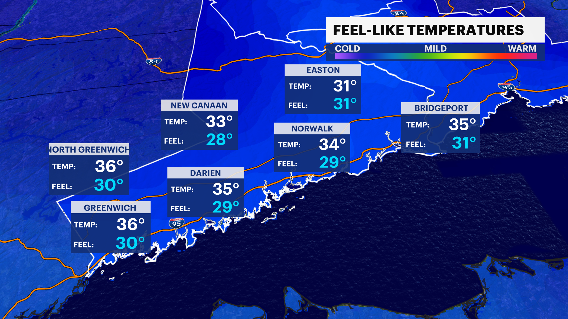
NEW & NOW: Sunny, breezy and dry. Overnight lows are colder and feels like temperatures hover in the 20s Monday morning.

NEXT: Improved confidence in Tuesday and Wednesday. Storm to cause moderate to major travel troubles. Widespread rain arrives by the afternoon on Tuesday lasting through Wednesday morning.
TODAY & TONIGHT: Seasonal temperatures, under beautiful sunshine. Active winds again. Colder air pushes across overnight. Highs near 52. Colder overnight lows near 28-32.
MONDAY: Mostly sunny with clouds filtering in late. Highs near 42. Overnight lows near 33.
TUESDAY: Limited sunshine with clouds building in the morning ahead of large system. Arrival anticipated (as of now) after 4 p.m. For the most part, rain. Some flakes could possible across higher elevations and north, northwestern Connecticut. Moderate to heavy rain, rumbles after 6-9 p.m. Rain continues to trek northeast and drifts into overnight and Wed. Highs near 44-47. Overnight lows near 37.

WEDNESDAY: Tracking unsettled system to bring travel troubles across the Tri-State with widespread rain and gusty winds. System exits by the afternoon. The evening becomes dry and clear. Highs near 47-53. Overnight lows near 33.