See the original post from the College of Science here.
From tracking the routes of water throughout the West to determining the levels of atmospheric carbon during the Paleocene epoch, Gabriel Bowen’s research into isotopes extends into a variety of critical research paths.
“One of the really cool things about isotope geochemistry is that it really crosses disciplinary boundaries,” said Bowen, a University of Utah professor of geology and geophysics. “It’s a subfield that grew out of earth science, geology and geochemistry, but it’s useful in everything from forensic science to water research to planetary science.”
Isotopes are variations in the number of particles in atoms of particular elements. The proportions of a various isotopes in a material encodes valuable scientific information, such as the age or origin of the material.

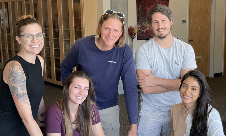
Gabe Bowen, center, pictured with members of the SPATIAL Lab. Credit: College of Science
Bowen grew up in rural Michigan and spent his childhood outdoors, which nurtured his love of nature and the Earth. He received his bachelor’s in geology at the University of Michigan and went to UC Santa Cruz for a PhD in Earth science. Bowen came to the U as a postdoc before joining Purdue University as a faculty member for seven years. He returned to the U through the Global Change and Sustainability Center and is now co-director of the Stable Isotope Facility for Environmental Research (SIRFER).
Recipient of this year’s College of Science Excellence in Research Award, Bowen founded the Spatio-Temporal Isotope Analytics (SPATIAL) Lab, which uses stable isotope techniques to examine different areas of isotope geochemistry. “Isotope science has been kind of limited by our ability to make measurements,” Bowen said.
The SPATIAL group has pushed forward uniting isotope geoscience with data science, which helps facilitate data sharing within and between fields of study. This data can then be leveraged to tackle bigger systems questions.
One main focus is reconstructing Earth’s climate through its geologic past and using that data to see changes in climate, ecosystems and biogeochemical cycles, which can then be compared to modern day. The SPATIAL group is also studying how water and other natural cycles operate today. They also study spatial conductivity, or how water, people, products and plants move on Earth’s surface.
In one example, Bowen analyzes isotopes to determine where plants are getting water from the subsurface, which can show the stability of water supply within a community and help predict how water resources will change due to climate change.
“There’s an intimate coupling between the physical and biological processes that constitute a system,” Bowen said. “Isotopes are a common currency. The elements and isotopes that go through the water cycle or rock cycle are the same ones that go into an elephant or ponderosa pine. We can really bridge the gap and understand the connection across these spheres.”
Contextualizing current and future trends
“The Earth’s been through a lot,” Bowen said. “There’s a lot of context that shows how unusual what’s happening right now is. We’re pushing the climate system and carbon cycle much faster than it’s ever gone at any point in the geologic record.”
Bowen’s climate change research includes tracking the sources of water, such as where water originates. The isotopes of water in Southern California’s Imperial Valley, for example, look more like isotopes in Colorado water than in water elsewhere in California. This is because the Imperial Valley, a major source of winter crops, is largely irrigated with water diverted from the Colorado River. The irrigation water ultimately winds up as groundwater resulting in serious environmental implications since this water contains fertilizers and pesticides.
The SPATIAL lab runs an annual summer course for graduate students, which provides training and experience in large-scale, data-intensive, geochemically-oriented research. The course consists of a discussion and lecture in the morning, delivered by specialists in the field. Laboratory experiences introduce new techniques and hands-on learning.
“We live in a pretty amazing place for geology,” Bowen said. As a pilot, we appreciate the geology of Utah from the air. He flies a Cessna 182, mostly for geology sightseeing. He also volunteers his time to fly people over the Great Salt Lake so they get an aerial view of one of Utah’s most iconic, yet imperiled landscapes.
“I try to take my scientist and artist friends out to see things from a different perspective,” he said.
