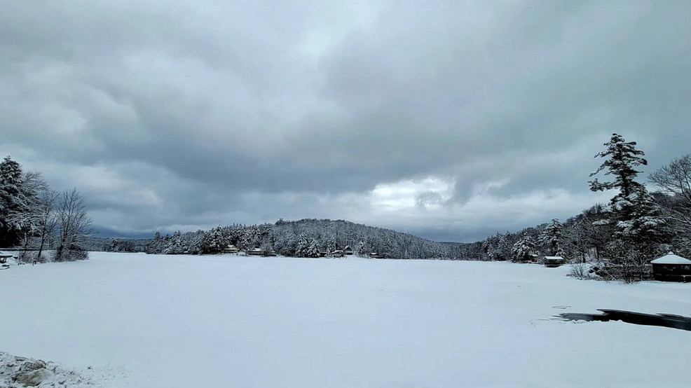

Well winter is making its annual return soon which means so is the snow.
Now across the Northeast, and esp. in Upstate New York, there are a variety of mechanisms to produce steady snow.
In this latest edition of Science with Sam, we will dive into the different types.
Alberta Clipper:
Seen above, the Alberta clipper derives its name from its point of origin, which is commonly in or near the Canadian province of Alberta.
Generally, clippers are very fast-moving storms that drop down from the north and west across the Midwest, and produce minor to moderate, short-lived snow events.
Since they often draw down cooler air, clippers usually produce purely snow. Albeit, their fast and comparatively weak nature leads to clippers producing less snow than Nor’easters (see Nor’easter section below).
Alberta clippers can occur somewhat frequently, sometimes happening every few days during active periods.
Occasionally, clippers can intensify off the Atlantic seaboard and take on more of a Nor’easter appearance, leading to higher snowfall totals.
Lake-Effect:
Lake-Effect snow is generated when a comparatively cold airmass moves across the warmer waters of the Great Lakes.
The lower layer of air picks up moisture from the lake which subsequently rises through colder air. This causes the moisture to condense and fall to the surface as snow (of course, assuming the airmass is cold enough).
A larger difference between air and lake temperature helps contribute to greater instability and naturally more intense precipitation rates.
An example is the historic November 2014 event: On Nov. 17, the start of the event, the surface water temperature for Lake Erie was 47 degrees. Meanwhile, the air at about 5000 feet was only about 5 degrees. That’s an incredible 42-degree difference and certainly contributed to the mind-boggling snow totals seen.
Lake-Effect is unique compared to the other snow-producing phenomenon, as it is on a much smaller scale. Often times, heavy snow forms in bands that are very narrow, sitting in place for a long time and shifting slowly throughout the entirety of the event.
These narrow bands could produce extremely heavy snow on say one stretch of highway while, just a mile down the road, the sun can be out. Hence, notice during that 2014 event linked above, the very tight snow totals gradient.
This process can be slowed or stopped if the lake(s) freeze over. Thus, we see the majority of lake-effect events occurring between the late autumn to the first part of the winter when the lake waters are still unfrozen and warm relative to the airmasses blowing overhead.
Generally, the highest snow totals are well west of the Capital Region, but the western Mohawk Valley, western Catskills and the Adirondacks can get in the activity during the course of the season.
Miller “Type-A” Storm:
Now, more often than not, if we are talking about substantial, widespread snowfalls this is reserved for nor’easters. Nor’easters are characterized by a dramatically deepening area of low pressure as it travels northward along the East Coast. The name ‘nor’easter’ stems from the strong northeast winds that precede and accompany the storm.
There are two main types: Miller A and B. The fundamental difference between them is the development pattern with the outcome being largely the same.
Miller “Type-A” develop primarily on the Gulf Coast or East Coast along an old cold front. They gain fuel thereafter from the marine/land airmass contrast along the coastline. The larger the contrast in temperature – the higher the instability – and often times, the stronger the storm.
As seen above, such a track can spread a shield of heavy snow along the Northeast coast. Obviously, this is track dependent with a further east track supplying colder air all the way down to the coast.
Across our area, the track can be the difference between light snow across the Western Mohawk Valley or rain in the Capital Region versus a widespread heavy snowfall. Thus, as meteorologists, these storms can be a real headache, but also a lot of fun to forecast with any wobble or shift making a huge difference!
An example is the infamous “Superstorm of March 1993” and more recently the December 2020 Blockbuster Snowstorm.
Miller “Type-B” Storm:
“Type B” storms often form from a parent low-pressure system swinging out of the Central U.S/Ohio Valley. Upon encountering the Appalachian Mountains, they lose their organizational structure and re-develop along the East Coast.
When this re-development occurs, the storm (like “Type A”) can produce heavy snow (like discussed above – this is track dependent). An example of this type is the December 30th-31st 2000 blockbuster Nor’easter.
Another exampleis actually the pre-Thanksgiving storm of this year.
*It’s important to note the above are broad classifications and do not cover all of the many mechanisms for producing snow. Also, elevation will almost always play a role in how much snow/ice each location will receive in these storms.
Make sure you keep it tuned to CBS6 for all your winter weather updates.