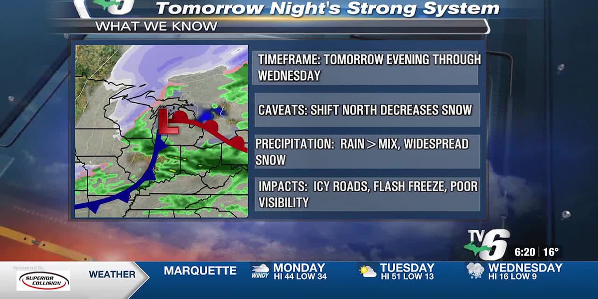
An upper-level trough will be coupled with a surface low. This will skirt south of the U.P. across Northern Wisconsin through the Lower Peninsula. This system will bring a range of weather and hazardous travel. It starts as some scattered showers tomorrow afternoon in the east, which transitions to freezing rain during the evening. Temperatures will be decreasing quickly from west to east tomorrow evening. This will cause surfaces to flash freeze and roads will become icy! Then, a swath of accumulating snow moves in overnight into Wednesday morning. Lake effect snow will continue during the morning and taper off by the evening. Winds will become strong out of the north with gusts ranging from 35-45mph on Wednesday. This will result in poor visibility from blowing snow. Preliminary projected snowfall will have ranges of 3-6″ in the west, north, and east. An excess of 7″ will be possible in the higher elevations of the Keweenaw, Michigamme Highlands, and the eastern U.P. The lowest snow amounts of 1-3″ will occur in the south.
Cold air will continue through Thursday. Windchill readings on Wednesday will range from single numbers below zero to single numbers. This cold blast will be out by Friday as another warm stretch will follow.
Today: Sun/clouds, breezy and warm
>Highs: Upper 40s to low 50s west, mid to upper 40s central, low 40s east
Tuesday: Partly to mostly cloudy with afternoon rain showers and evening wintry mix
>Highs: Mid to upper 50s inland, mid to upper 40s
Wednesday: Widespread snow and strong winds
>Highs: Low to mid-10s
Thursday: Mostly cloudy with spotty snow
>Highs: Mid to upper 20s
Friday: Mostly sunny and warmer
>Highs: Mid to upper 40s
Saturday: Partly cloudy and warm
>Highs: Mid to upper 40s
Sunday: Partly cloudy with a chance of showers west
>Highs: Upper 40s to low 50s
Copyright 2024 WLUC. All rights reserved.
