Tropical Storm Lee is expected to intensify into an extremely dangerous category four hurricane by the weekend.
The storm has formed over the Atlantic and is likely to reach hurricane status later on Wednesday, the US National Hurricane Centre (NHC) said.
It said it was too early to determine its potential impact, but it is not currently forecast to make landfall.
“Lee is forecast to become a major hurricane… and could bring impacts to the Leeward Islands,” the NHC said.
“While it is too soon to determine the location and magnitude of these possible impacts, interests in this area should monitor the progress of Lee,” it said.

Winds from Lee are forecast to reach 145mph (233km/h) later in the week, which would place it as a category four hurricane.
The NHC describe this category as “major” and say, if a hurricane of this scale were to make landfall, “catastrophic damage will occur”.
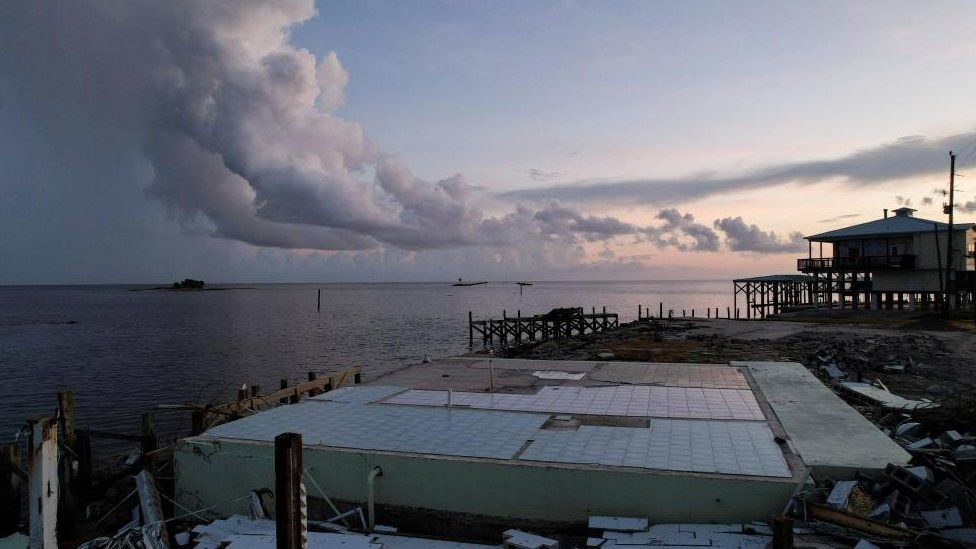
It comes just days after Hurricane Idalia made landfall in Florida, where it destroyed homes and toppled powerlines before barrelling into Georgia and bringing severe weather to the Carolinas. Major power outages lasted for days in Georgia, with more than 200,000 people affected.
The 2023 Atlantic hurricane season is forecast to be more active than average, with the peak of the season still a week away.
The impact of climate change on the frequency of tropical storms is still unclear, but increased sea surface temperatures warm the air above and make more energy available to drive hurricanes.
As a result, they are likely to be more intense with more extreme rainfall.
This video can not be played
