
The agricultural landscape of India sometimes called its foundation, is changing rapidly. In today’s digital world, where data and technology dominate our lives, agriculture is not left behind. This transformation is powered by geospatial technology, which is changing Indian agriculture.
Growing Agriculture using Geospatial Technology:
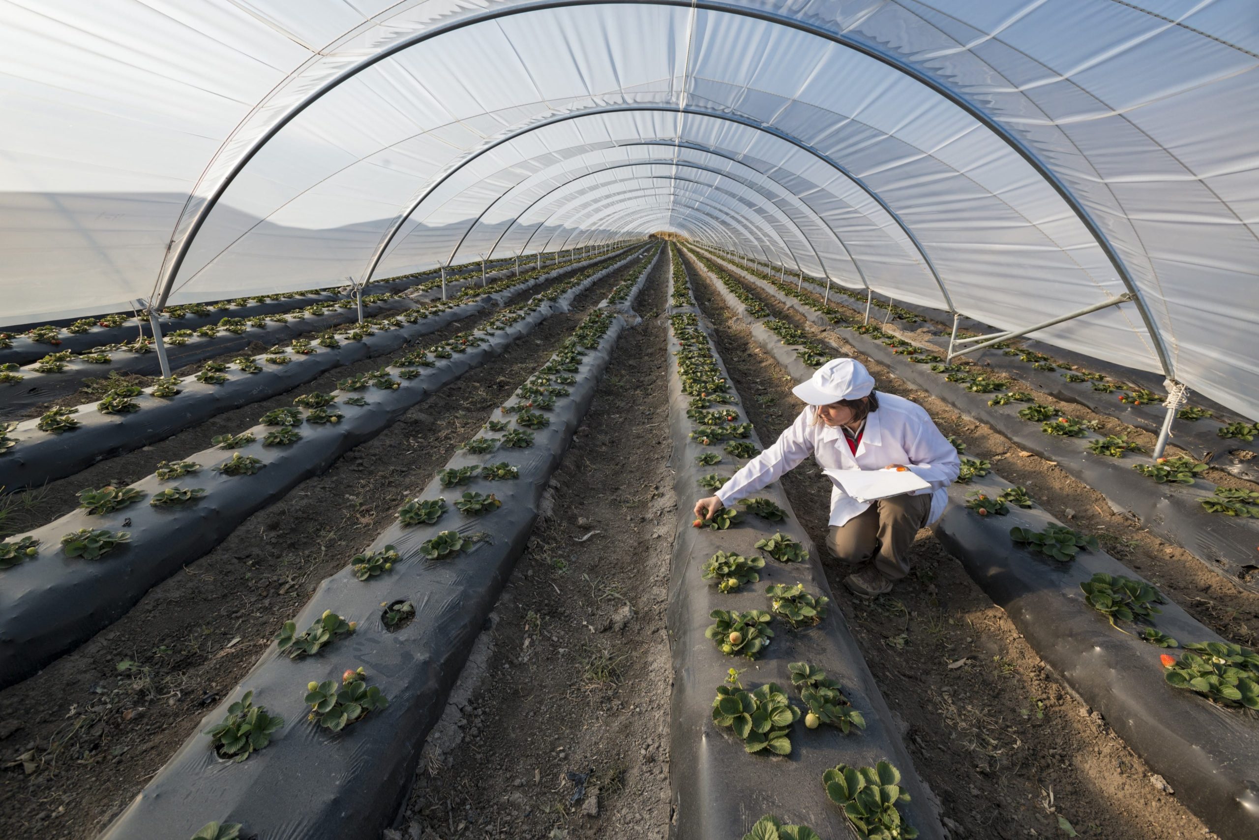
Geospatial technology—including satellites and drones—is transforming precision farming. It serves several agricultural purposes, empowering farmers and improving agricultural methods. Real-time data on crop health, soil conditions, and weather patterns is a major benefit of geospatial technology.
These scientific insights allow Indian farmers to make educated decisions that influence their agricultural productivity and financial stability. Geospatial technology-based scientific guidance helps farmers navigate contemporary agriculture.
Geospatial technology has had a huge influence. It provides farmers with real-time satellite and drone data on crop health, soil conditions, and weather patterns. Farmers may use this knowledge to make scientifically sound decisions that increase yields and financial stability. Geospatial technology transforms Indian agriculture.
Empowering Small Farmers:
India’s agricultural landscape is dominated by one- to three-hectare landowners. These farmers struggle, and standard farming practices often fail. In this circumstance, agritech startups are hopeful. Transformation’s focus on small-scale farmers—most of India’s farmers—is crucial.
These farmers manage one- to three-hectare plots and need innovative strategies. Agritech enterprises combine traditional agricultural practices with cutting-edge technology to serve this niche. These innovative firms give small farmers hope for a better future.
Agritech solutions target small farmers. Their innovative solutions bridge the gap between traditional methods and modern technology, allowing even small landowners to benefit from geospatial advances. These startups are shaping Indian small-scale farming, not simply selling products.
Bhoomicam: Connecting Science with Farmers
Bhoomicam Pvt. Ltd. Agri-Fintech startup, founded by Prof. Siddhartha Khare of IIT Roorkee, is using cutting-edge geospatial technologies to revolutionize Indian agriculture. Their mission is to empower Indian farmers through state-of-the-art Artificial Intelligence (AI) and Geospatial technologies.
Bhoomicam is addressing the following problems associated farmer bank relationships: (1) Diversion of agricultural loans to other activities, (2) Inability of loan agencies to verify loan use post disbursement, (3) Inability of crop insurance providers to segregate genuine claims from False claims, (4) Agencies must visit the farm to verify crop status, no real-time application available to monitor crop status.
These huge problems will be solved by AI and satellite data-enabled technologies by providing easy-to-use mobile-based applications in different languages to Indian farmers. The Bhoomicam startup has developed a first-of-its-kind solution based on remote sensing technology (i.e. satellite and drone imageries) to assist farmers in evaluating their creditworthiness and to provide farmers with hassle-free loans so that farmers can cultivate crops in an environment that is inappropriate for the land and atmosphere, which ultimately speeds up the decision-making process.
The adoption of the Geographical Information System (GIS) and Global Positioning System (GPS) in the banking sector can make it feasible to achieve effective resource management as well as operations management.
Conclusion
In a world where technology is omnipresent, geospatial technology is revolutionizing agriculture in India. It empowers farmers with data-driven insights, revolutionizing their farming practices and enabling them to thrive in the face of a changing climate. Through the efforts of agritech companies, this digital transformation is made accessible to every Indian farmer, regardless of the size of their land. Geospatial technology plays a pivotal role, offering real-time satellite and drone data on crop health, soil conditions, and weather patterns, which farmers can leverage to make informed decisions that boost crop yields and financial stability. The impact of geospatial technology on Indian agriculture is profound.
Bhoomicam’s pioneering solutions exemplify the diversity of Indian agriculture. The company connects farmers to their GPS- and GIS-mapped land and crop data through user-friendly Android and web applications. This digital revolution empowers small-scale farmers to fully embrace the digital age and optimize land utilization.
Disclaimer: Views Expressed are Author’s Own. Geospatial World May or May Not Endorse it