While Thursday remains quiet, we are tracking wintry precipitation with slick travel as early as Friday
CEDAR RAPIDS, Iowa (KCRG) – Our overnight weather, as well as Thursday, stays seasonable.
v
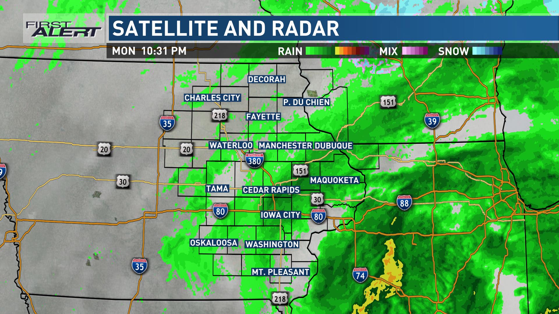
The latest satellite and radar data. (KCRG)
Lows in the 20s and highs in the 40s take us to the end of the week. An area of low pressure develops across the Plains moving east to northeast Thursday night through Friday. Moisture will be drawn northward in the form of rain and snow showers early Friday morning. More wintry precipitation is possible later Friday afternoon into Friday evening.
Friday Pinpoint Futurecast(KCRG)
Snowfall Forecast(KCRG)
As a reminder, any wintry precipitation can cause slick travel conditions so be alert for changing conditions. Looking even farther ahead, a second storm may bring more rain/snow showers on Sunday. Have a great night!